

Lot n° 324
Estimation :
150 - 200
EUR
Result with fees
Result
: 544EUR
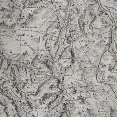
[Map of Burgundy.] GAUTHEY (Emiland Marie), POURCHER (Franço - Lot 324
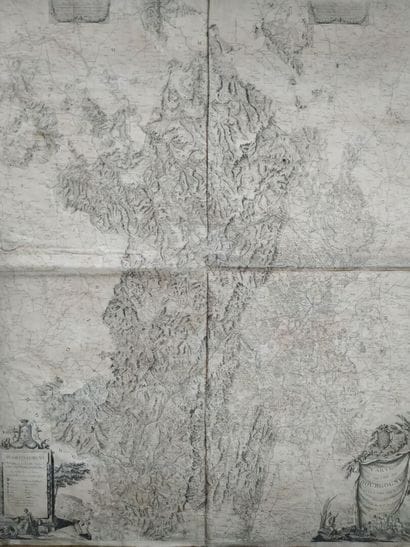
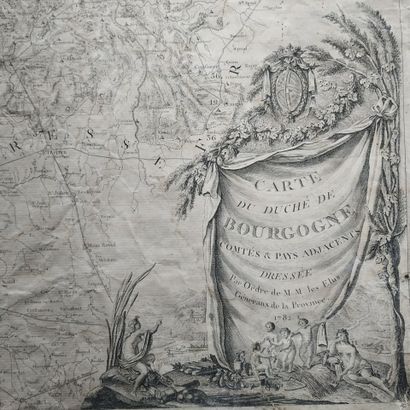
[Map of Burgundy.] GAUTHEY (Emiland Marie), POURCHER (François). Carte du Duché de Bourgogne, Comtés et Pays adjacents dressée par Ordre de M.M. les Elus Généraux de la Province. Dijon, s.n., 1782.
Copper-engraved map on two sheets, overall approx. 125 x 95 cm, antique heavy cloth canvas (creased, light halos, slight rubbing).
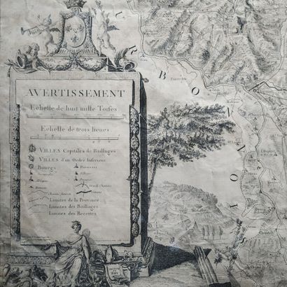
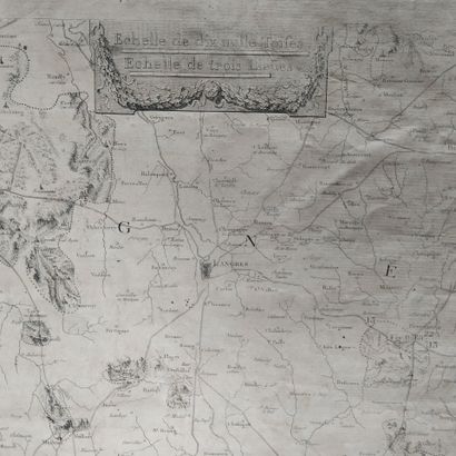
An important and unusual wall map, commissioned by the elected officials of Burgundy to showcase the territory they administered. Its scale is approximately 1:180,000, and it is decorated with two cartouches: at bottom left, the title is on a drapery bearing the arms of the Duchy, decorated with ears of corn and vine branches, four Lovers and allegorical figures of Agriculture and the Sâone, in front of a rural landscape; at bottom left, in an architectural cartouche decorated with Lovers and the allegorical representation of Burgundy, is the Warning and the names of the authors.
It is the work of E.M. Gauthey (1732-1806), an engineer and mathematician from Chalon-sur-Saône, who directed the construction of canals in Burgundy, with the collaboration of his nephew F. Pourcher, a draughtsman who also worked for the States. The engraving was done by Louis-Gabriel Monnier (1733-1804), born in Besançon and the first curator of Dijon's Musée des Beaux-Arts.
My orders
Sale information
Sales conditions
Return to catalogue