

Lot n° 226
Estimation :
100 - 150
EUR
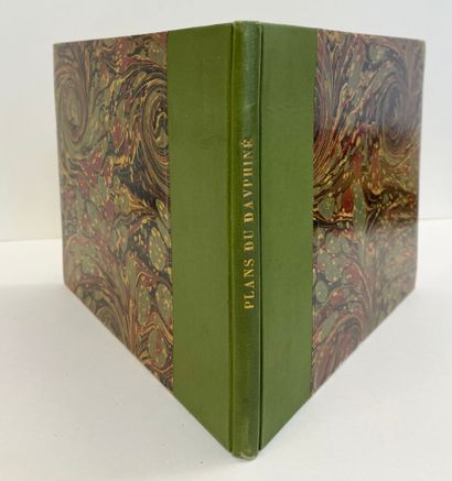
TASSIN (Christophe). Maps and profiles of the main cities in - Lot 226
TASSIN (Christophe). Maps and profiles of the main cities in the province of Dauphiné, with a general map and detailed maps of each of their administrative districts. n.p., n.d. [Paris, ca. 1630]. Italian-style 8vo, green half-percale.
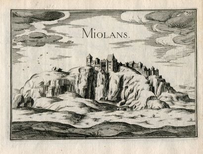
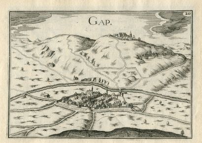
Engraved title page and table of contents, 38 engraved plates. Maps of the administrative districts, city plans, and views. General map of the Dauphiné, and the administrative districts and towns of Lyon, Vienne, Valence, Montélimar, Grenoble, Embrun, Gap, Puymore, Quirieu, Sisteron, Suze, Exiles, Montmélian (and Miolans), Bourg, Pignerol and Brigeras, Turin, Geneva. For each government, a map of the region; each city is then represented by a plan and a view.
Christophe Tassin, ordinary commissioner of war and the king’s geographical engineer in 1631, obtained a ten-year privilege to have “the general and detailed maps of France and the Kingdoms printed, sold, and distributed by whomever he deemed fit.” From 1633 to 1635, he published his entire body of engraved work, intended specifically for travelers and military personnel.
My orders
Sale information
Sales conditions
Return to catalogue